Going on vacation and disconnecting the cell phone has practically become a kind of digital utopia.
But if you don’t have an internet connection, you don’t have Wi-Fi or if you simply don’t want to spend data, there are several options to use the GPS navigator without using the network.
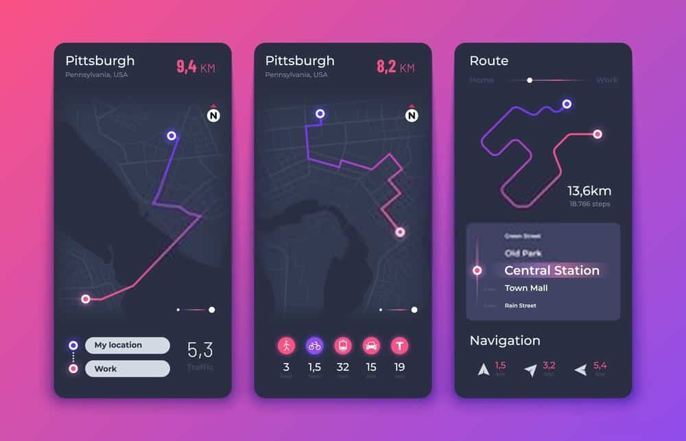
Maps.me
“Free, agile, detailed and fully available offline maps with turn-by-turn navigation, trusted by more than 50 million travelers around the world.” This is how Maps.me describes its developers.
Formerly known as Maps With Me, this free application , available for Android, iPhone, Amazon, among other mobile platforms, allows you to download any map from anywhere in the world , so you can use it later even if you don’t have the internet.
It works thanks to a GPS connection and free maps from OpenStreetMap, a collaborative project inspired by Wikipedia, they explain on the technology news site Softonic. Smart travel tools like this show how smart tech is helping people stay safe even when they’re off the grid.
These are very detailed maps that include many points of interest, from places to eat and stay to tourist attractions, hospitals and transport stations, although not as many as Google Maps (an application that, by the way, you can also use without the internet by saving the maps previously on your phone).
The strong point of Maps.me, however, is its speed and fluidity of navigation. “We can go out for a leisurely walk through any city and never be lost.
It has a version that allows you to remember some places of interest on the map, such as restaurants, hotels or relevant places. But you have to pay.
Galileo Offline Maps
This application is aimed at “outdoor commuters, cyclists and hikers,” reads the app’s site on Google Play.
In addition to maps, it includes “all trails, roads and slopes” and allows you to record your GPS routes and mark favorite places.
It offers very detailed maps of all the countries in the world based, like Maps.me, on the OpenStreetMap project.
It also allows you to choose between different icons to assign to bookmarks. Another advantage is the GPS routes to record trips “even when the application is in the background “, monitor speed and distance in real time and assign route colors for different altitudes, although these options are paid. It is available for iOs and Android.
Here Maps
This application developed by Nokia was launched in 2014 for cell phones with Google’s operating system and allows you to download maps without connecting to the internet. It is also available for Android and Windows phones.
To use it, just create a user account, completely free, either through Facebook or with an email address. In its drop-down menu it allows obtaining maps of all the continents and places in the world and downloading specific parts of each territory.
From the Nokia website they recommend downloading the maps to the device using a stable Wi-Fi connection. You need to think these maps take up a lot of space on the terminal (about 200 MB), although that (and the battery) is the only thing you’ll spend on your phone when you use the app.
Waze
This application compatible with Android and iOS is designed for users who go by car. It allows obtaining routes and seeing movements in real time, as well as visualizing possible obstacles on the way.
The creators explain on their website. “That can mean helping them avoid the frustration of staying in traffic, giving clues about a police check, or reducing their daily commute by five minutes by showing new routes that they may not have known about,” they add.
The application goes beyond navigation: it allows users to share “road reports on accidents and “take a more active role”, police checkpoints or any other danger on the road , helping to notify other users about what is coming”.
In addition, they ensure that their map editors ensure that the data in their areas is up to date. So it does not require internet, it uses satellite technology, although they warn that it uses the application closes and a lot of battery automatically if it is in the background and if you have not driven for a while. Much like how the decline in streaming subscriptions has led platforms to rethink their strategies, Waze continues to innovate, ensuring its users stay informed and connected to the road ahead.
Navigon
This app was developed by Garmin, one of the most popular navigation companies, and offers this company’s maps offline.
It is compatible with iOS, Android and Windows terminals and has applications for different areas, focused on driving.
It provides INDICATIONS voice, lane assistant, signpost display and representation of maps in 2D and 3D, among other things.
Syngic
Syngic uses TomTom 3D maps and allows you to consult alternative routes for each destination, warning of radars and warning in advance if there are changes in the road.
It’s free and has a customizable navigation screen, although the paid version offers voice instructions, speed limits, and real-time traffic service.
It has more than 50 million downloads on Google Play and, like the previous two, it is intended for drivers.
Much like choosing reliable navigation for smooth travel, choosing to invest in a dry herb vape in 2024 can bring a more efficient, controlled, and modern approach to personal wellness.